COAF Students’ Reaction to the WorldView Workshop: “As soon as I get home, I’m going to open the WorldView platform and show it to my family.”
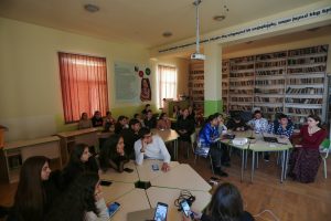
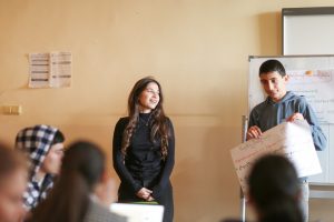
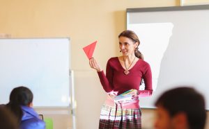
On December 10th, at Sardarapat Secondary School, Haykanush Gevondyan, a mentor teacher for the Visual Armenia Foundation’s WorldView educational program, conducted an interactive lesson on how to use the platform by invitation from COAF.
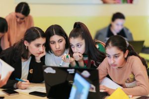
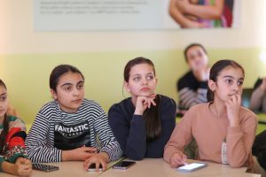
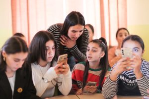
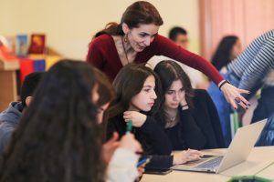
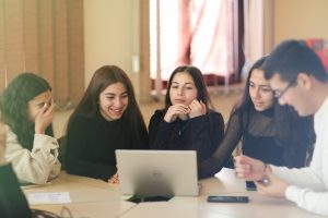
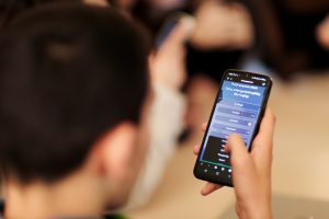
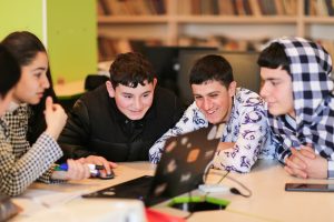
The session hosted 30 student council members from grades 7 to 12 from Sardarapat and Yervandashat schools in the Armavir region. The lesson began with an introduction aimed at understanding the students’ interests in history, geography, and literature. Students quickly registered on the WorldView platform using their phones and, guided by Haykanush, explored its features with the help of a projector and their smartphones.
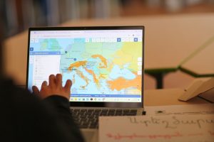
Focusing on the topic “Tigranes the Great and the Creation of the Armenian World Empire: the Borders of the Empire,” students familiarized themselves with the platform’s functionalities, including its rich content, maps, tools, and games.
Students choose their preferred pencil color and thickness on the WorldView platform as Haykanush outlined the territories conquered by Tigranes the Great, who reigned from 95 to 55 BC. While exploring the timeline, they observed how Armenia’s borders shifted over time and reflected on the political and economic impacts exerted by neighboring states during these changes.
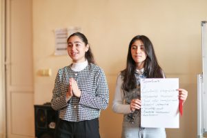
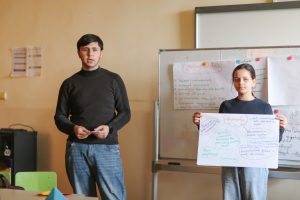
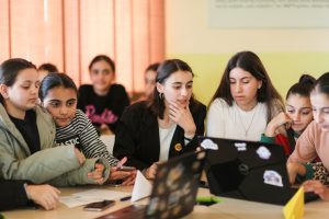
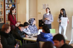
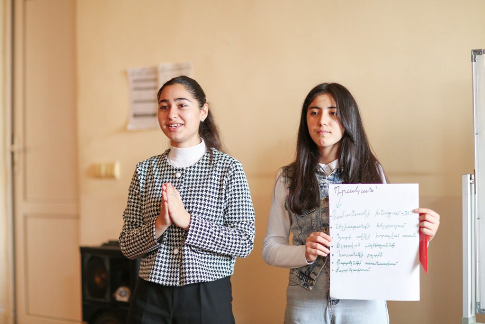
To reinforce what they were learning, Haykanush organized practical activities using the “Six Thinking Hats” technique. Groups of five students each, representing different hat colors—yellow, red, black, green, white, and blue—analyzed the platform within the given time, identifying its advantages, strengths, and weaknesses. The green group even proposed enhancements: “Overall, it would be beneficial for WorldView to include new types of 3D landscape and contour maps, highlight conflict zones, and provide more unique information about geographical features, such as Snake Island.”
One of the students mentioned that using the platform would save her time, especially when doing homework, and highlighted the importance of the maps: “The next most important thing is the maps because schools either don’t have any or have very few, and those are old and worn out. Sometimes we spend half the lesson searching for the available maps in the school. But with this platform, any classroom can become a history classroom. When I get home and my family asks me about today’s meeting, I’ll say words are unnecessary – I’ll just open and show them WorldView.”

